SK22 美國保健食品直送台灣 美白|助眠|瘦身|生髮
滿額免國際運費網購優惠中!褪黑激素、減肥瘦身保健食品、各類生髮產品自2004年起運營萬人評價品牌推薦!完善台灣入關服務讓您購買更省心!


特色推薦
熱門商品
新品上架
特價商品
特色推薦
-
特價
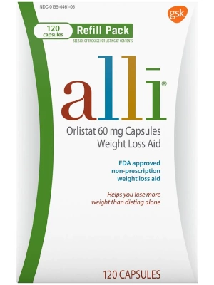
alli 康孅伴免處方箋減肥藥 120粒
原始價格:NT$5,995。NT$2,950目前價格:NT$2,950。 加入購物車 -
特價
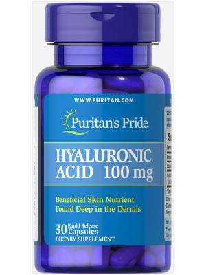
Hyaluronic Acid 口服玻尿酸錠 60粒
原始價格:NT$1,895。NT$1,020目前價格:NT$1,020。 加入購物車 -
特價
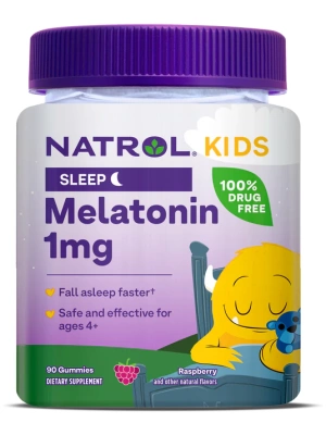
KIDS Melatonin 兒童褪黑激素軟糖 90粒
原始價格:NT$1,100。NT$595目前價格:NT$595。 加入購物車 -
特價
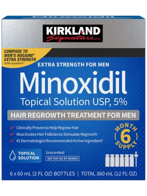
Kirkland Minoxidil 5% 生髮水6瓶裝
原始價格:NT$3,350。NT$1,265目前價格:NT$1,265。 加入購物車 -
特價
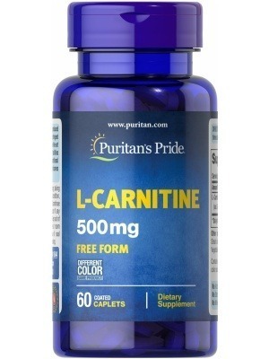
L-CARNITINE L-卡尼丁 左旋肉鹼 60粒
原始價格:NT$990。NT$390目前價格:NT$390。 加入購物車 -
特價
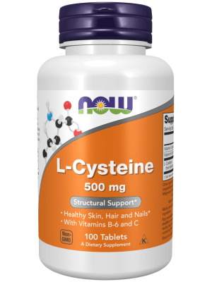
L-Cysteine 強效美白錠 500mg 100粒
原始價格:NT$950。NT$495目前價格:NT$495。 加入購物車 -
特價
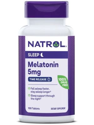
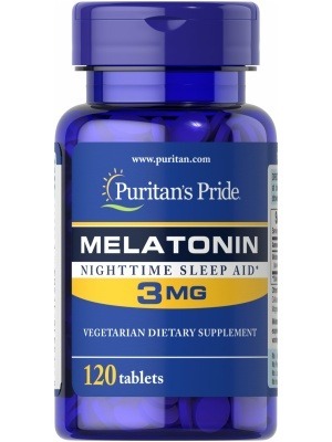
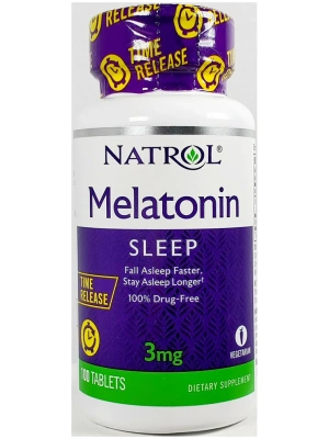
Melatonin 褪黑激素5mg 100粒
原始價格:NT$890。NT$460目前價格:NT$460。 加入購物車 -
特價
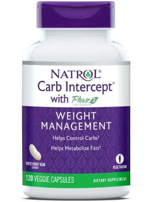
Phase 2 白腎豆澱粉中和劑 120粒
原始價格:NT$1,545。NT$1,095目前價格:NT$1,095。 加入購物車 -
特價

Relacore EXTRA 強效瑞樂可 90粒
原始價格:NT$1,850。NT$1,350目前價格:NT$1,350。 加入購物車 -
特價
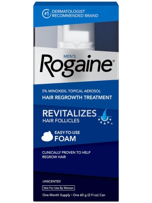
Rogaine Foam 男用落健生髮慕斯5% 1瓶裝
原始價格:NT$1,250。NT$920目前價格:NT$920。 加入購物車 -
特價

Saw Palmetto 鋸棕櫚萃取 100粒
原始價格:NT$960。NT$520目前價格:NT$520。 加入購物車 -
特價
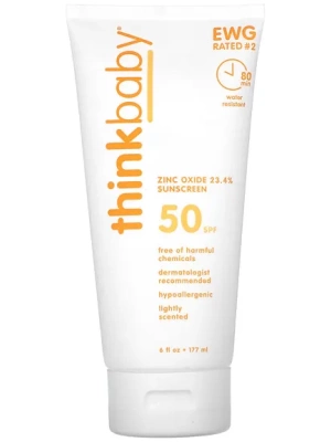
Thinkbaby 無毒物理防曬乳液 SPF 50+ 6 fl.oz.
原始價格:NT$1,090。NT$665目前價格:NT$665。 加入購物車
熱門商品
新品上架

特價商品